National Trust
Developing effective visitor map schemes for varied sites and delivery media.
We are embarking on a refresh of our property maps, with a focus on accessibility – we’ve seen a noticeable shift in visitor behaviour and expectations since reopening last year, as well as a significant growth in our visitor offer.
Visitor Experience Manager
(National Trust)
This project sought to update the way visitors to National Trust sites were guided. In addition to refreshing the visual language of the cartography we needed to increase accessibility and greatly reduce the need for printed ‘map’ leaflets.
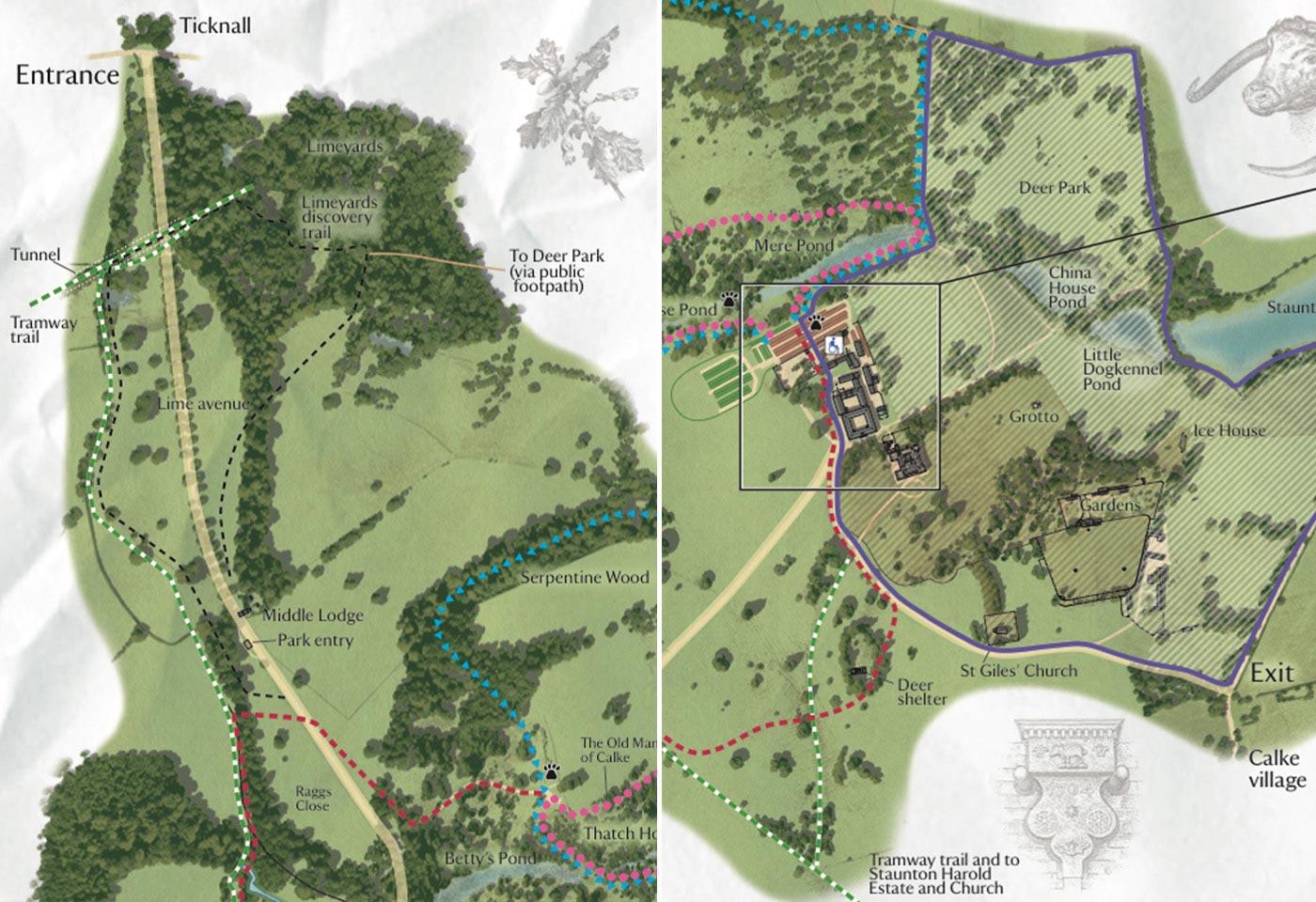
We have created many maps and visitor orientation artworks for the National Trust over the years. These have been in a variety of site-appropriate styles in response to particular briefs given at the time. Recently there has been a move towards encouraging less use of printed leaflets for environmental and cost reasons, so we were given the challenge of creating a new approach to the maps.
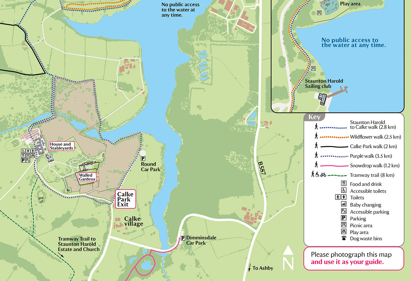
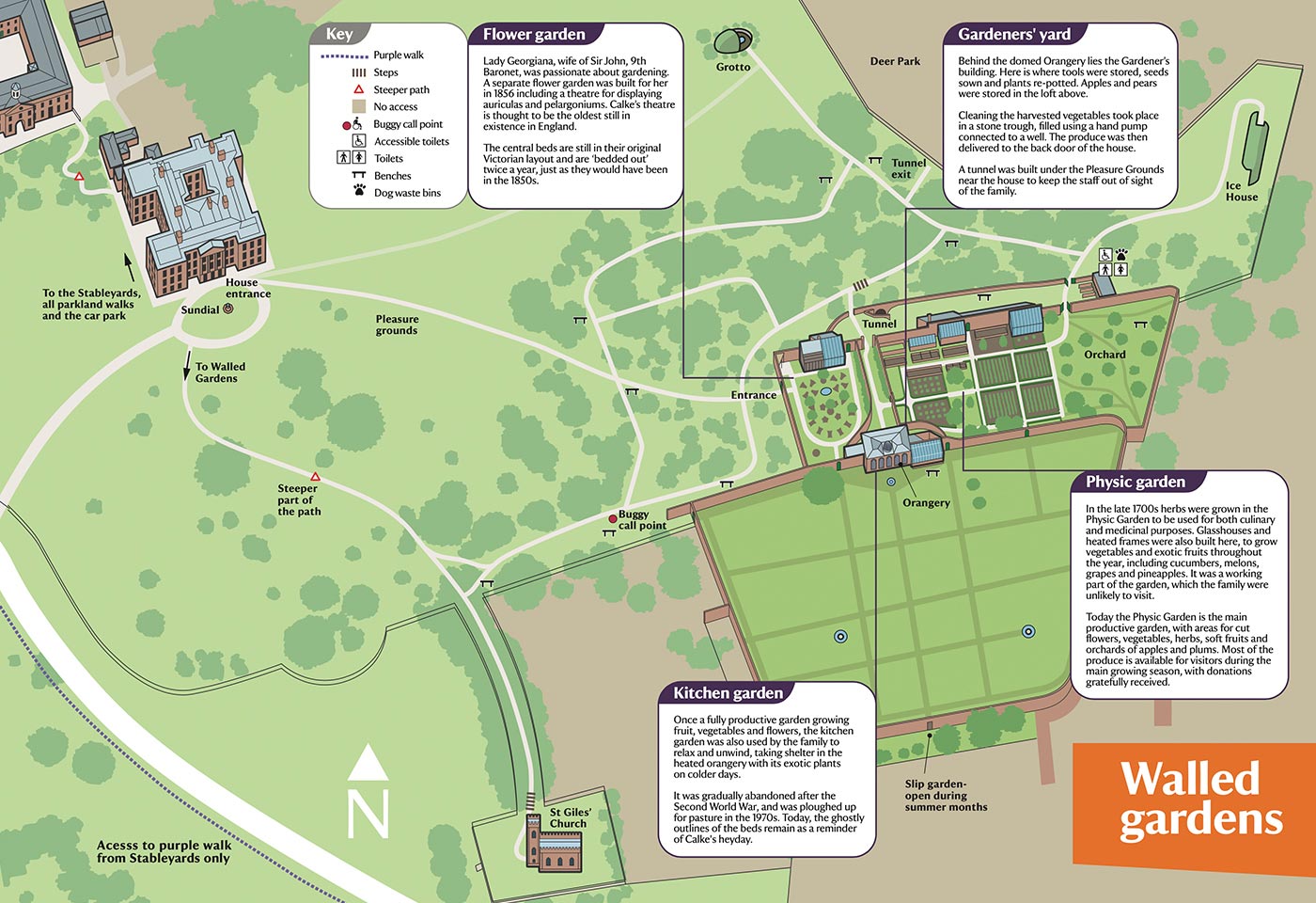
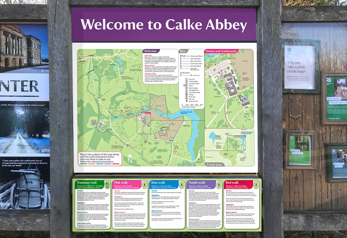
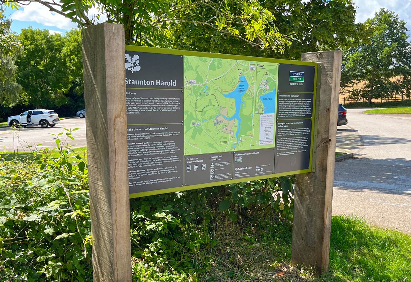
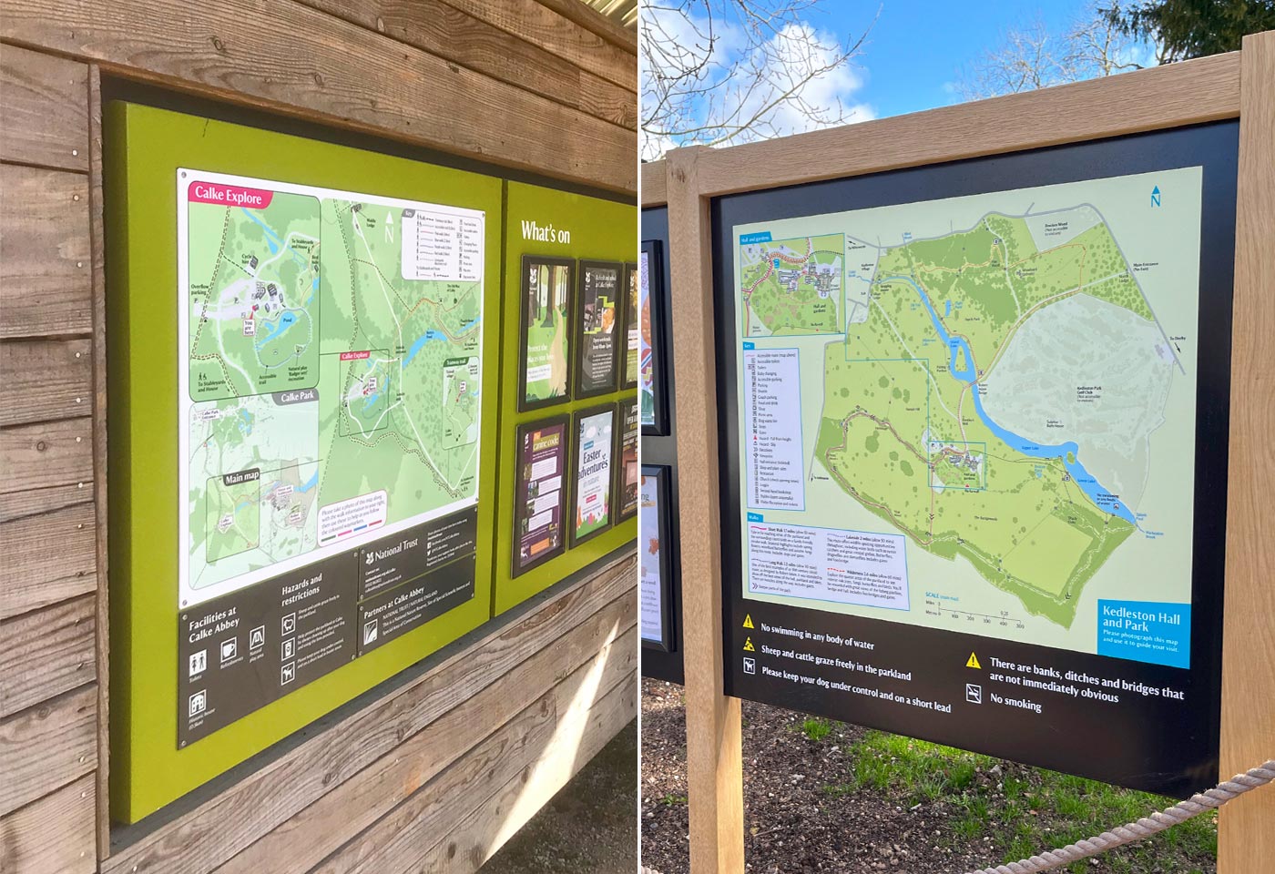
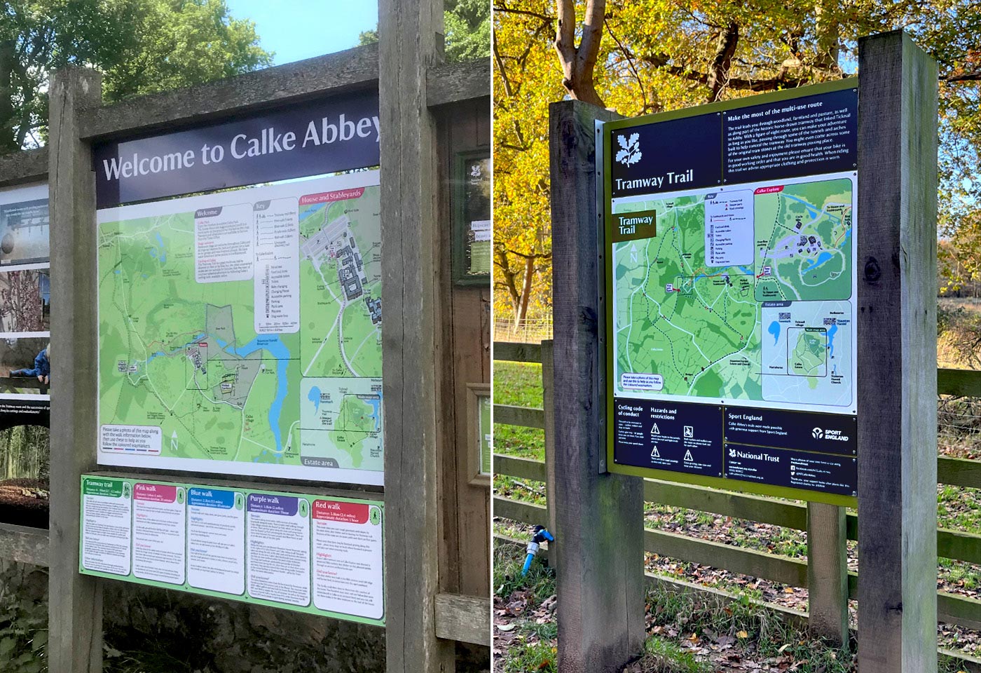
Visitors would be encouraged to photograph the maps and rely on their phone to guide them where necessary during their visit. Large panels would be designed and installed at key arrival points carrying clear invitations to photograph the map. We developed a sharp and fresh mapping style that would be appropriate for all types of visitor locations – suitable for parks, houses and natural attractions. We wanted to make sure that people photographing the maps on their phones would have the clearest possible mapping to follow even on the relatively small screens. We therefore ensured that the colour palettes were reduced to a limited range and were deliberately kept texture free. Text content was kept to a minimum, and paths were strongly highlighted. A key part of the improved accessibility was developing path routes that were differentiated by more than colour alone. Differing line styles were adopted to work alongside the colours, helping those with visual limitations. Where there are a number of walk routes available, we developed a series of small panels to relate to each walk showing the key facts, challenges and highlights of the route. This could then be photographed and used alongside the main map to offer the appropriate guidance.
For occasions where printed maps were specifically requested by visitors, a simple sheet was designed that could be produced on-site and handed out in very limited numbers upon request. Uptake of the phone guided visits has been very good and the number of printed map leaflets handed to visitors has been significantly reduced and even eliminated at some sites, with obvious financial and environmental benefits.
This innovative approach to delivering maps and their new visual language continues to be applied to National Trust sites we work with across the Midlands.

